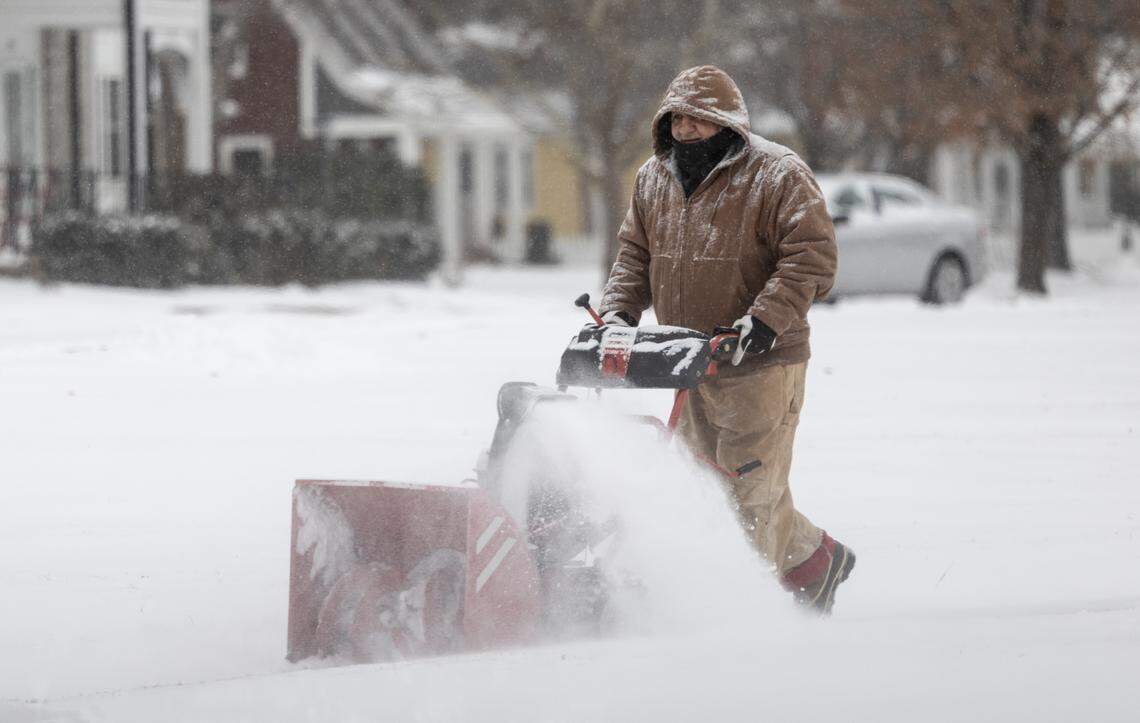
About 3.2 inches of snow fell in Wichita from Friday to noon Saturday, with several more inches possible before the storm ends, said James Cuellar, a meteorologist with the National Weather Service in Wichita.
Wichita was initially expected to receive 6-10 inches of snow. Cuellar said Wichita will likely be more in the 4-6 inch range now.
Areas north of Wichita have already seen more than that, with the highest totals being about seven inches near Beloit.
However, much of Kansas will end up receiving less snow than originally forecast, as the storm that affected much of the eastern half of the United States has now shifted south of much of Kansas.

The National Weather Service Weather Prediction Center’s Saturday storm map now shows the winter storm has missed much of Kansas. Weather models earlier this week showed Kansas more in the path of the storm.
Here are the snowfall amounts in Kansas as of 10 a.m. Saturday:

View snowfall totals across the state.
Friday’s forecast also calls for two rounds of snowfall in the Wichita area, with the second coming Saturday night into Sunday morning. Cuellar said the forecast calls for snow to fall throughout the day Saturday, with the snow likely to taper off by the evening.
But, he said, “Wichita will be right on the edge of the snowfall tonight,” with bands of snow more likely to hit along and east of the turnpike in south-central and southeastern Kansas. The swath will be a “pretty sharp line,” he said, and 20 miles of it will mean a big difference in snowfall.
If it does hit Wichita directly, it could push the top-end snowfall totals to about 7 inches, he said. This will also keep the snow falling in Wichita into Sunday morning.
Even if initial snowfall forecasts fall short of expectations, cold is Kansas’ biggest concern with this storm. Wichita’s coldest wind chill so far was minus 17 degrees just before 11 p.m. Friday night, and wind chills remained in the minus teens through Saturday morning. Temperatures have not risen above single digits since late Friday morning.
Negative wind chills are still expected Sunday and Monday morning.
Concerns remain about “catastrophic ice accumulation” in southern Kansas and eastern states, according to the National Weather Service Weather Prediction Center.
“Long-lasting power outages, widespread tree damage, and extremely dangerous and impassable conditions are possible,” the forecast center said. “Catastrophic impacts are expected when freezing rain amounts exceed one-half inch, with localized ice accumulations of more than an inch possible in parts of northern Louisiana, central and northern Mississippi, southern Tennessee, and the southern Appalachians.”